Farms and Homesteads

Clyn Mawr Uchaf Farm

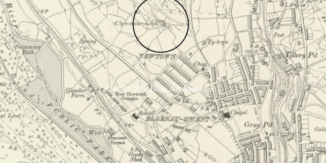
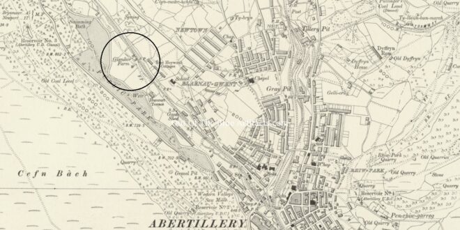
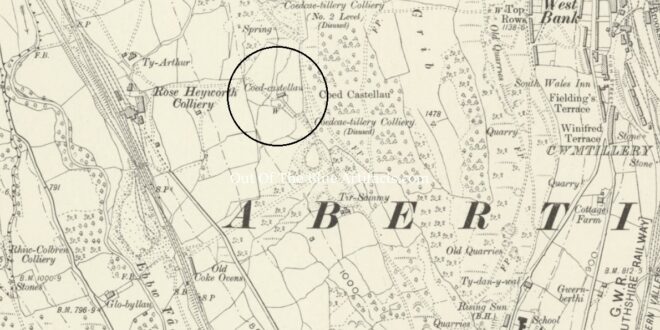
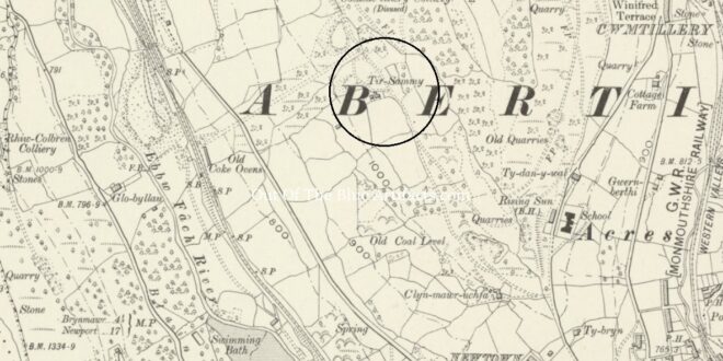
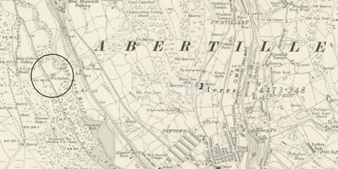
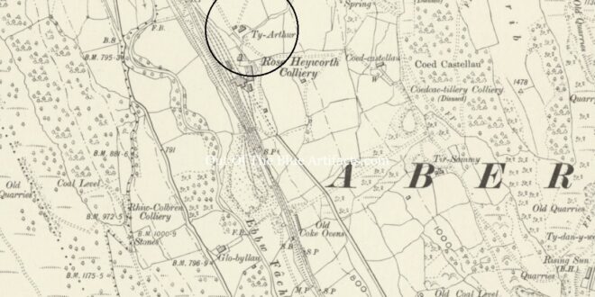
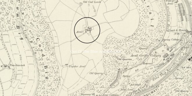
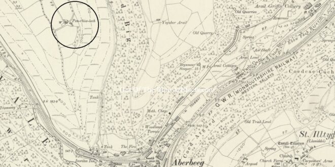
Clyn Mawr Uchaf Farm. The Clyn Mawr Uchaf Farm was located on the south western side of Mynydd James. It was on the mountain road between Ty Bryn and Ty Sammy’s Farm. Clyn Mawr was originally an area of Blaenau Gwent, from the Clyn Mawr Uchaf (upper farm) to the Clyn Mawr Hotel taking in Blaenau Gwent Rows, across to …

Read More »

Clyn Mawr Ganol

Clyn Mawr Ganol. Clyn Mawr Ganol Farm was located on the western ridge of Blaenau Gwent, opposite Blaenau Gwent Baptist Chapel. Today its site is occupied by Penybont Nursing Home. Clyn Mawr was originally an area of Blaenau Gwent, from the Clyn Mawr Uchaf (upper farm) to the Clyn Mawr Hotel taking in Blaenau Gwent Rows, across to the east …

Read More »

Clyn Mawr Isaf Farm

Clyn Mawr Isaf. Clyn Mawr Isaf Farm was located at the south western side of Brynteg, an area part of lower Blaenau Gwent. The farm was later surrounded by housing and demolished when the new housing on the roads of Portland Street and Gladstone Street began encroaching on the farm land. After the demolition of the farm, four houses were …

Read More »

Glan-y-Dwr Farm

Glan-y-Dwr Farm. Glan-y-Dwr Farm, more commonly known as Glandwr Farm was located on the main railway line close to what was to become the new Abertillery Cricket Field and Park. Today, the steps to the footbridge over the A467 leading to Morley Road is where the farm buildings were. The 1840 Tithe Map. Apart from the odd newspaper article there …

Read More »

Coed Castellau Farm

Coed Castellau Farm. Coed Castellau Farm, corrupted to Coed Cae Tilla was located on the western side of Mynydd James overlooking the Ebbw Vach valley. The construction of the new houses at (upper) Arael View later encroached onto its land. Over the years, the farm was seen written in documents and newspaper reports as Coed Cae Tilla, Coed Caetilla and …

Read More »

Tyr Sammy’s Farm

Tyr Sammy’s Farm. Ty Sammy’s Farm was located on the eastern side of Mynydd James, upon the mountain road between Clyn Mawr Uchaf and Coed Castellau Farm. The 1840 Tithe Map. Apart from the odd newspaper article there is a lack of early information on the occupants at Tyr Sammy’s Farm. There doesn’t seem to be any record of its …

Read More »

Arail Farm

Arail Farm. Arail Farm, more commonly known as Arael Farm, is located on the southern tip of the Arael Mountain, to the east of Cwm Beeg Dingle. Cistercian Monks. A story appeared in the South Wales Gazette, Friday 1st of May 1959 written by Councillor Mr Brinley Evans, under the pen name “Arael”. Mr Evans wrote of the Arael Farm’s …

Read More »

Penrhiwllech Farm

Penrhiwllech Farm. Penrhiwllech Farm, had been a long established homestead located on the western side of Cwm Beeg Dingle, on the southern tip of the Arael Mountain, Aberbeeg. Penrhiwllech was one of a reported four homesteads on that south western side, the others being Hafod-y-Daval, Pen-Crug-Glas and Llan-Dafal. The Arael Mountain. That part of the summit on the Arael Mountain …

Read More »
error: Content is protected !!