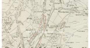
Hendre Gwyndir – New Red Ash Level. This coal level became the New Red Ash Level. It was more than probably named after the Hendre Gwyndir (spelt in many different ways) farm that was close by. It was driven into the north eastern side of the top end of the Cwmtillery valley just above where the reservoir is today, it …
Read More »Hendre Gwyndir Level
Hendre Gwyndir – New Red Ash Level
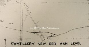
Hendre Gwyndir – New Red Ash Level. A map showing the entrance of the Hendre Gwyndir Coal Level. This is a small section of a map that is in two sections of 7′ feet long each, showing the whole area of coal mined in this level.
Read More »Hendre Gwyndir – New Red Ash Level
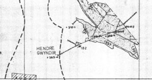
Hendre Gwyndir – New Red Ash Level. The map, a portion of an official N.C.B. abandonment map shows the underground workings and its position in relation to the pillar left for the Cwmtillery Reservoir.
Read More » Out Of The Blue Artifacts A Library of a lifetime of collecting


