 Out Of The Blue Artifacts A Library of a lifetime of collecting
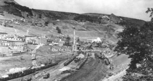
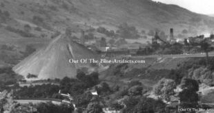
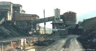
Cwmtillery Colliery Aerial Ropeway – Old and New Tips. The photograph shows the new tip (far left) dominating the sky line and the old original tip (far right) in the distance. The new tipping route had been gradually building up from the older image.
Read More »Cwmtillery Colliery Aerial Ropeway – Old and New Tips