 Out Of The Blue Artifacts A Library of a lifetime of collecting
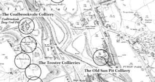
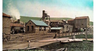
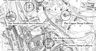
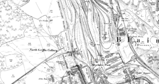
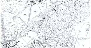
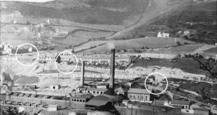
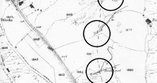
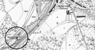
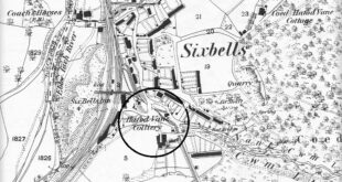
Blaina Nantyglo Collieries. Just a few of the collieries in the area. Ffosmaen Colliery, the Old Sun Pit, Trostre Pits and the Coalbrookvale Colliery. The name Trostre is spelt in many different ways on maps over the years.
Read More »Blaina Nantyglo Collieries