 Out Of The Blue Artifacts A Library of a lifetime of collecting
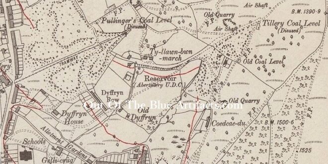
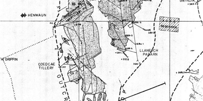
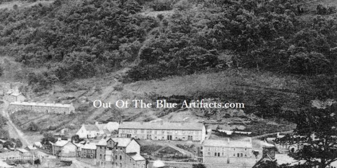
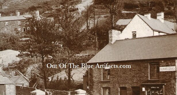
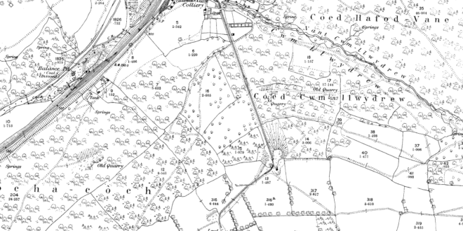
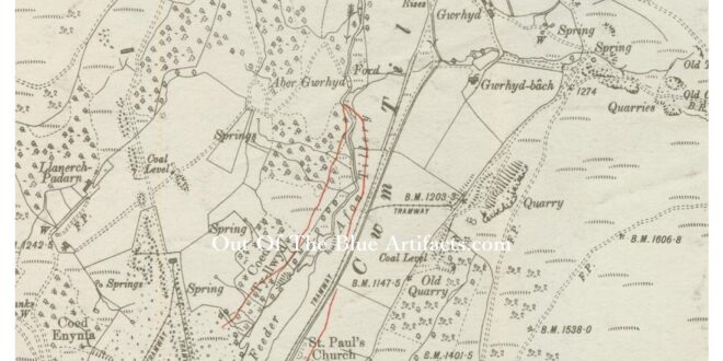
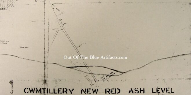
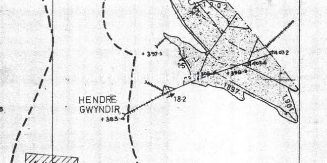
The Tillery Valley Coal Levels. In this small area in Abertillery there were quite a few coal levels – Pullingers, Tillery, Olwen, Greenmeadow and The Coronation later renamed the Wellington Coal Level. The Tillery Levels were in connection with the Penybont Tillery Colliery and was owned by Messrs T. P. & D. Price. The map is a much later map …
Read More »